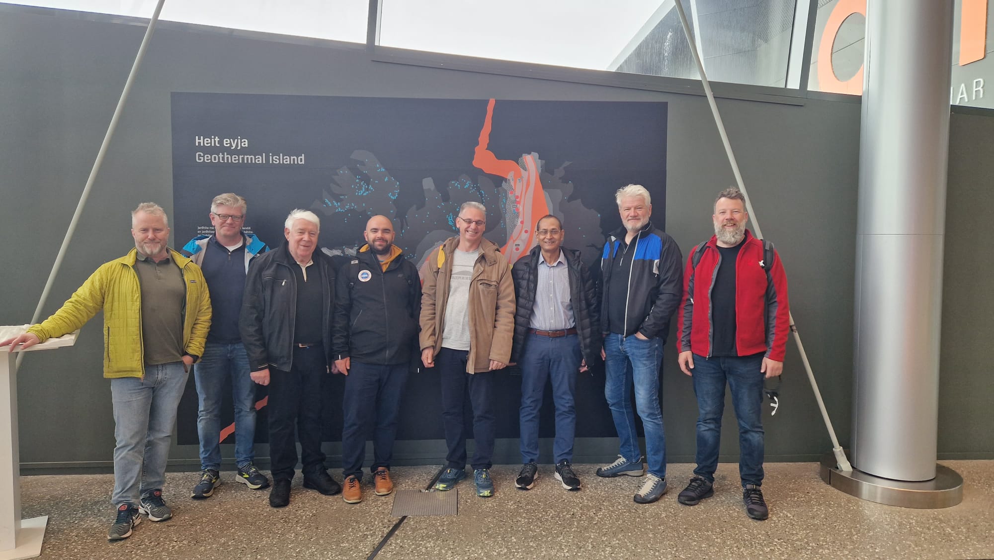
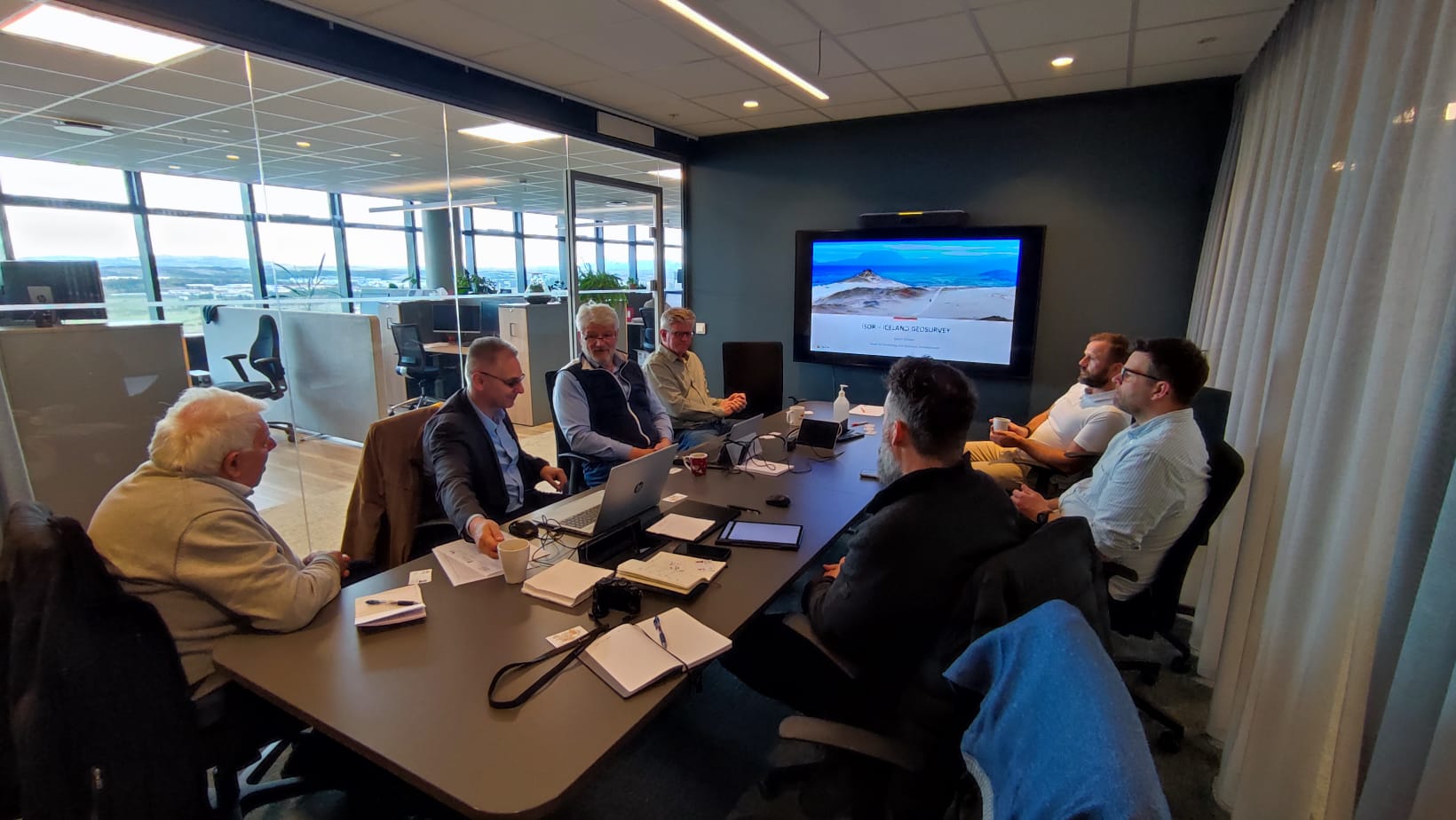
In an interview with an Icelandic newspaper over the weekend, Mr. Árni Magnússon, the CEO of Iceland Geosurvey, ÍSOR, underlined his organizations role as one of the world’s leading research institutes in the field of geothermal energy and the continuous need for expertise in geothermal utilization.
“Projects accomplished by ÍSOR are diverse and vary in scope, but are mostly related to services regarding geothermal energy as a natural resource,” Mr. Magnússon explains. Since 2006, Mr. Magnússon worked on energy issues, with an emphasis on geothermal energy, first at Íslandsbanki and later at the engineering firm Mannvit, becoming CEO of ÍSOR in the middle of last year. “We are a company rich is expertise and skills and a leading force in the field of geothermal research and development. We provide consulting, training and scientific geothermal services as well as managing basic research in most areas of geothermal utilization and other geoscience-related fields. ÍSOR, and its predecessors, have from the outset played a key role in geothermal development in Iceland, as well as being involved in projects in more than 40 countries worldwide, resulting in a wealth of experience gained within the company,” according to Mr. Magnússon.
ÍSOR is a self-financing, state-owned institution and operates in accordance with the Act on Services and Research in the Fields of Geothermal Energy, Natural History, Energy and Other Natural Resources. The company operates on a commercial basis in a competitive market and earns its income entirely through its services and by the acquisition of research grants. “For decades, we have offered energy companies, district heating and private parties in the country specialized services in the above fields. These include surface exploration, conceptual modelling, borehole siting, on-site geological advice and borehole logging, as well as resource management. In fact, we are offering a comprehensive range of services and perhaps we could call ourselves a precursor when it comes to geothermal utilization,” informs Mr. Magnússon.
Heating and water supply consultant
Although geothermal research has been ÍSOR’s focus, the institute also plays a significant role in the field of groundwater research, freshwater resources and seafloor research.
“Thus, ÍSOR has been the advisory body to most of the country’s space-heating and water companies on the sourcing and utilization of water and is the main scientific advisor to the Icelandic government in research on natural resources,” explains Mr. Magnússon. In addition, ÍSOR has proposed the scientific arguments in Iceland’s contest for seafloor rights outside the 200-mile economic jurisdiction.
“ÍSOR is well-established and has undertaken numerous projects in the field of natural sciences, such as geological research for construction, landslides, earthquakes and volcanic activity. ÍSOR has gained substantial reputation abroad where it has managed and participated in basic research and development of geothermal projects. Several specialists at ÍSOR have many decades of experience in projects around the world, including work for the Directorate for International Affairs and Development Cooperation of the Minestry for Foreign Affairs, teaching at the United Nations Geothermal Training Programme, as well as direct advice to foreign private companies and government agencies,” Mr. Magnússon explains.
Drilling to depths of 2,000 m

“Icelanders have achieved great success in the utilization of renewable energy sources, and it will hopefully be so for a long time to come,” says Mr. Magnússon. “It can be said that ÍSOR has created the geoscientific basis for the utilization of geothermal energy for electricity production and other applications, but it is necessary to constantly monitor the environment, monitor changes and to follow technological innovations.” The results of low-temperature drilling have been good. Between 1928 and 2017, about 450 production wells were drilled in low-temperature areas in Iceland. Almost 90 percent had temperatures of 60°C and about 65 percent resulted in 80°C water, which is ideal for space heating. If we look at wells that penetrated permeability like faults, regardless of temperature, the success rate is more than 90 percent,” Mr. Magnússon explains. “These figures clearly show how the growth of geoscientific expertise has paid off, leading to high expectations of energy supply by Icelanders. Demand for hot water, both for bathing and space heating, has constantly increased, due to growing population and the number of tourists in recent years. It is worth mentioning that drilling is currently underway at Ósabotnar for the Árborg Municipality. ÍSOR has been a consultant and supervised the geothermal production of Árborg Municipality for years. The well is now 1,732 meters deep and the intention is to go deeper in the hope of getting more hot water into the well, even down to 2,000 meters,” Mr. Magnússon explains.
Conceptual Models predict 50 years into the future

Geothermal exploration at Námafjall. Photo Sigurður G. Kristinsson.
ÍSOR has placed great emphasis on innovation, research and development in its operations and will continue to do so. It now employs more than 60 people and the majority of staff, 94 percent, have a university degree. “Last year has shown us that there is great demand for expertise,” says Mr. Magnússon and continues: “There is no need to mention the pandemic in this context, but to point out various natural hazards. Basic research related to the country’s nature, including geothermal energy and the nature of the earth’s crust, is a prerequisite for successful and efficient utilization of geothermal energy for energy production. It is worth noting that the country’s geology does not end at the coast. It is essential to strengthen basic research, intensify geological mapping, and assess the seafloor as a natural resource and so on.”
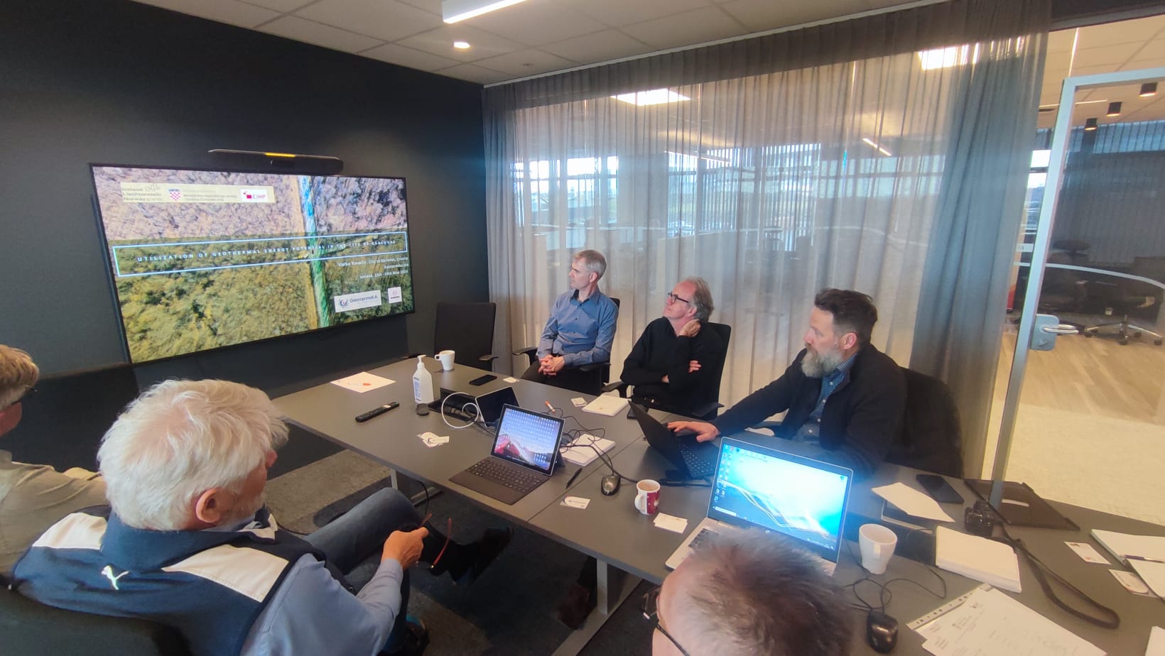
“Every year, ÍSOR participates in numerous research projects. These projects are funded by energy companies and/or domestic and foreign research funds, such as from the EU. The participation in research projects strengthens ÍSOR´s own research skills and improves basic knowledge in the field of geosciences and geothermal energy, as well as advancing the developments of new methods for research and utilization of natural resources,” Mr. Magnússon explains. “Software development is an aspect that accompanies research institutes like ÍSOR, and therefore continuous efforts are ongoing in developing software for our specialized operations. Over the years, considerable emphasis has been placed on improving software, which can predict the production capacity of geothermal fields, depending on the production history, but conceptual models can now forecast up to 30 to 50 years into the future.”
A development project is also underway, which is, among other things, funded by EFTA and is in cooperation with Poland. In this case, software is being developed that will be used to simulate the geothermal reservoir’s response to production. “With this new software, it will be possible to predict the effects of reinjection and where to locate successive boreholes. The new software will model where to site new production wells, re-injection wells and monitoring wells in relation to production efficiency. This software is based on older software that has been used successfully for several years, but as more and more district heating companies exploit increasing number of wells, many are considering reinjection to increase the production capacity of the geothermal fields,” says Mr. Magnússon and adds: “ÍSOR puts a lot of effort into good co-operation with the country’s district heating companies and is very interested in working with them to make good use of the fields and strengthen monitoring, so that they can be utilized in a sustainable way.”
First published in the Newspaper Fréttablaðið, Orka Íslands, 30. Jan. 2021


